Commerical Drone Photographer and Videographer
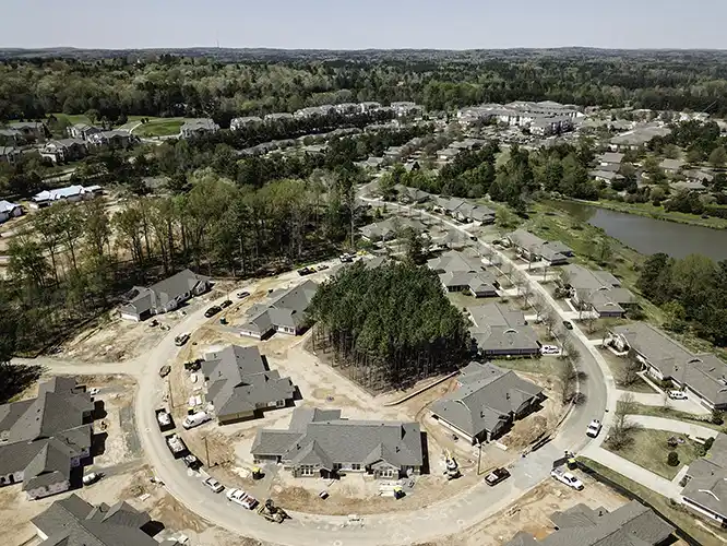
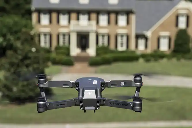
As commercially licensed and insured drone pilots, we produce stunning, high-resolution ultra-high-definition (4K) video, 360 degree photographs, spherical photographs and still images from perspectives not possible without aerial photography and at a fraction of the cost of traditional helicopter-based photography.
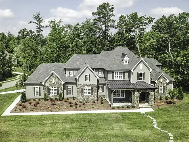
With multiple drones, which are also known as unmanned aerial vehicles (UAV) and unmanned aircraft systems (UAS), we are able to deliver breathtaking videos covering every possible perspective. With our post processing expertise and website knowledge we can combine multiple video clips, still images, text and audio into your website and social media feeds without requiring you to deal with multiple vendors.
Commercial usage of drone still and video photography includes real estate sales, construction and infrastructure inspections, project progress documentation and marketing.
Video Snippets
We offer multiple video options, including circling around an object of interest, flying past an object of interest, zooming in, out or above an object of interest, and time lapse photography.
The following video snippet shows examples of some of the type of video clips that are useful for real estate and construction projects.
Photogrammetry, Orthomosaic Maps and 2 and 3D Models
An orthomosaic map, orthophotograph, orthophoto or orthoimage is a composite or tiled aerial (drone) photograph with a uniform scale. In other words, the image has been corrected to remove distortion so that distances can be measured the way they would be on a map. Images we have produced can cover extreme detail such as each individual roof granule on large commercial roofs measuring acres in size.
We have photographed entire subdivisions covering hundreds of acres to produce images that can be used as a GIS layer or viewed as tiles with Google Maps and are more up-to-date and at a higher resolution than the images normally available with Google Maps. For these 2D orthomosaic maps, we fly a single grid over the area with enough overlap between images to allow correct stitching or tiling of up to thousands of images into a final image.
For clients who want to be able to rotate the image like a CAD drawing to see not only a top view but also details of the front and sides of structures, we fly a 3D mission which involves multiple passes with the camera at an oblique angle.
Spherical, Panorama and Polar Photography
Our drones can be used for many types of specialized photography, including spherical photographs.
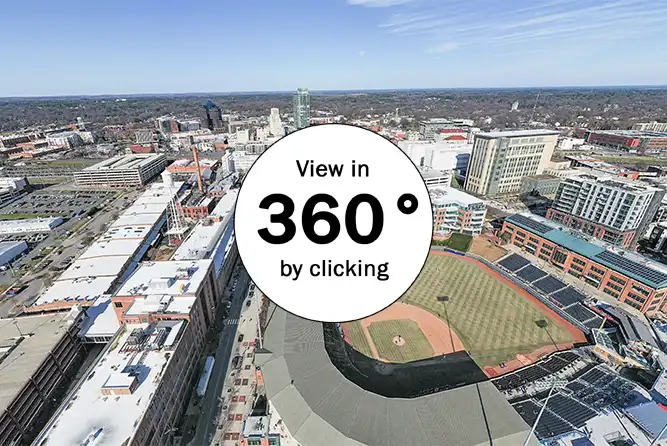 These photographs can be thought of as a kind of virtual reality, where you can look up, down, side-to-side or even around in a full circle to see what's in that direction. Most social media sites support spherical photographs, and, when displayed on a device with motion sensors, which includes most smartphones and tablets, it will pan to different parts of the image as the device is moved. Zooming is supported by pinching and unpinching. An advantage of spherical photographs is that people spend more time viewing them as they explore their unique panning functionality. Their limitations are that they are not the best choice for printing, and websites need a special viewer, which some websites don't include.
Panoramas are a group of photographs which are combined into an single image. One of their advantages is that they allow us to get closer to a structure, avoiding obstructions like trees or other buildings for an unobstructed view of the structure. Since they are made of multiple images, they can be produced in very high resolution.
We Do Nighttime Photography
Normally the FAA prohibits drone flights at night due to safety concerns related to reduced visibility. People, like us, who have proved to the FAA that through our training, experience, procedures and additional equipment can operate safely at night have FAA permission to do so. The result is that we have authorization to fly our drones at whatever time is best. Thus we can get stunning twilight and nighttime aerial drone photographs and video for our clients.
We Can Fly Near Airports
Lots of public statements emphasize not flying drones near airports. While the airspace within 5 miles of an airport is restricted, we routinely get authorization to fly in that restricted airspace, so don't let the fact that you are near an airport stop you from contacting us. Just assume that we will be able to get all the proper authorizations to complete your drone job.
Hiring a Drone Photographer - What to look for

Drone usage is an exciting, emerging, and rapidly changing technology with vastly different requirements for hobbyist, recreational and commercial use. For North Carolina commercial use, or any time drones or images taken from a drone are used for a business or if remuneration takes place, all of the following must be in place to avoid huge fines and penalties.
- The drone must be registered with the FAA.
- The drone pilot must be licensed by the FAA.
- The drone operator must have an NC UAS Commercial Operator's Permit and have passed an NC Department of Transportation written exam.
- The drone pilot must confirm that the location for the drone flight is a location where flights are permitted or obtain necessary government approvals prior to the flight (restrictions exist in many places that are miles from the nearest airport or even small heliport landing spots).
- The owner of the property where the drone will take off, land and be photographed must give permission.
- Drones may only be operated within the hours specified by the FAA or necessary waivers must be obtained.
- Since normal business insurance excludes drones, we recommend confirming that the drone operator has special drone insurance.
When you hire HSykes Photo as either your photographer or videographer, we can manage all of the preceding items for you and even post the resultant pictures and videos on your web and social media pages. Alternatively, we can photograph at locations where you already have permission and provide high resolution images, compressed images for quick display on websites, and/or 4K or Ultra-high definition video.
Purchasing your own drone
Our Drone Recommendation page gives some rules of thumb for which drone is best suited in a given environment. If you contact us, we will guide you through the considerations so you can get the best return on your investment.
